 Quiz-Tree
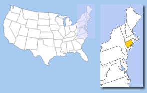
Question 1
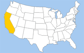
🔒
Answer question 1 to unlock
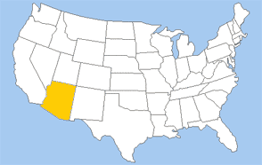
🔒
Answer question 2 to unlock
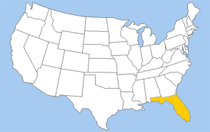
🔒
Answer question 3 to unlock
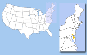
🔒
Answer question 4 to unlock
🔒
Answer question 5 to unlock
🔒
Answer question 6 to unlock

🔒
Answer question 7 to unlock
🔒
Answer question 8 to unlock
🔒
Answer question 9 to unlock
correct answers
Nice work, but this score isn’t saved yet.
Create a free account and we’ll keep it. Plus, get access to ALL other Geography quizzes.
Want a guided path through Geography?
Create a Study Plan